THE SATELLITES [home] [topic page]
These satellites are the current generation of orbiters of the same name. Orbiters of the same series date back to 1972 for Landsat and SPOT to 1986.
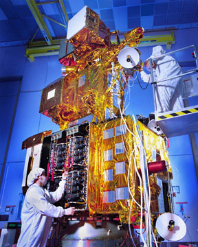
Landsat 7 shortly before launch
They are placed in near Polar orbit - meaning that they nearly pass over the Arctic and Antarctic poles. This in turn means that they can image nearly all of the Earth's surface.
Landsat ( ref 1, ref 2 )orbits at an altitude of 705 kilometers which gives it an orbital period of about 1 hour 40 minutes.
Every sweep looks at a width of 185 kilometers so a given area is repassed every 16 days ( every 233 orbits ).
The orbits are "sun synchronised" so that the satellite arrives over an area at the same time of the day as the previous pass.
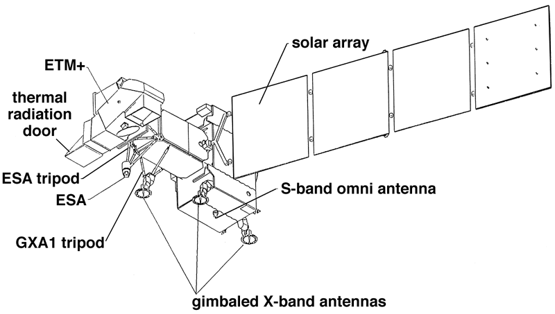
It produces images capable of "seeing" objects larger than 30m for most of its sensors but 60m for another and 15 m for yet another.
All of the Landsat imagery is in the visible and infrared with 7 bands and one ability to pan using bands 2 to 5 inclusive.
Wavelengths are quoted;
Band 6 is a new band for the Landsat series that looks a the thermal emissions from objects due to their intrinsic heat ( temperature) rather than the reflected solar light. ( For more information on this type of radiation, go to "Black Body Radiation Tute" )
SPOT4 ( ref 1 )is the latest in a system of satelites which orbit at 830 km producing images covering 60 sq km with an ability to "see" to sizes of 10m.
The system has imagery both in infrared and visible ranges. Wavelengths are quoted.
The two systems complement each other. They have slightly different bandwidths.

